Detail Produk
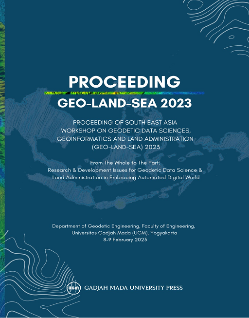
PROCEEDING OF SOUTH EAST ASIA WORKSHOP ON GEODETIC DATA SCIENCES, GEOINFORMATICS AND LAND ADMINISTRATION (GEO-LAND-SEA) 2023
Geodesi
Share this :
Penulis: Prof. Trias Aditya K.M. , Dr. Bambang Kun Cahyono , Ressy Fitria, M.Sc.Eng. , (Editor)
ISBN: -
Dilihat: 1365 kali
Stock: 0
Ditambahkan: 31 August 2022
Rp170.000,00
Maaf buku ini sedang tidak tersedia
I n t r o d u c t i o n ab o u t P u b l i c a t i o n
This publication is a direct deliverable of the GeoLand-South East Asia (GeoLand-SEA) workshop. The GeoLand-SEA workshop, which took place on 8-9 February 2023, in Yogyakarta, Indonesia, laid a foundation for research, education, and professional cooperation in the domains of geodetic engineering, geo-informatics, land administration, and land management in South East Asia. The University Gajah Mada (UGM) and Technical University of Munich (TUM) prepared the workshop, supported by the TUM Global Incentive fund as part of and in line of UGM-TUM collaborative project ‘Advancing Geospatial Technology to construct Fit-For-Purpose Land Administration in Indonesia’ (GeoLand-Indo). This collaborative research focuses on investigating how, where, and when applying new geospatial technologies for cadastral survey activities which can generate alternative and complementary solutions for traditional surveying and registration practices. In view of this objective, the workshop itself was furthermore endorsed by the international association of surveyors, the FIG.
The workshop contained 3 plenary and 3 parallel sessions based on assembled abstracts and full papers. The first plenary session presented the justification and objectives of the workshop, including the intentions to generate exchange of new practices and discussions on ongoing research results as well as the production of a formal publication. The second plenary session was a panel session featuring 6 research and professional managers of the domain. The presenters addressed both current trends and innovations in the technologies as well as some socio-institutional concerns and challenges to overcome. The former includes the adoption of smart technologies and responsible land management frameworks, the construction of digital twins, the utilization of extended/ augmented/virtual/mix reality (AR/VR) technologies, the investigation into the use of blockchain and crypto-based registration guarantees for land registration, the employments of urban analytics for geospatial evaluations, and the use of novel valuation and compensation tools for land acquisition. Some concerns and challenges included the unbalances between the growing job market versus the registered student numbers, the difficulties in the recognition and the branding of what the terms and geodesy, geodetic engineering and geospatial sciences stand for and how they contribute to global problems, the job specification requirements at various skill and knowledge levels within the mandates of the national and international administrations and private sectors, and the increasing emergence of new persuasive and disruptive technologies, such as artificial intelligence and machine learning.
The parallel sessions included 3 tracks: geodetic data sciences and geoinformatics, land administration, and university-industry collaboration respectively. Whereas the former two tracks contained a selection of technical presentations of researchers and practitioners followed by question-and-answer sessions. This session was the key input to the scientific papers included in this publication. The latter was a discussion session during which participants could share experiences and discuss the possibilities on human resource development based on matching resources.
The last plenary session addressed the requirements and possible work plans for establishing a Geodetic/Geomatics Engineering Indonesia Education Network (FORDESI) for Collaborative Science Development, and the construction of a research collaboration sustainability plan. From all these discussions it is evident that the domains of geodetic engineering, geo-informatics, land administration, and land management are both broad, multidisciplinary, and service-oriented on the one hand and specific and unique on the other hand. Therefore, the geodetic ‘brand’ and identity need to be preserved and expanded, besides being harmonized in terms of content, skills and knowledge set, voicing, lobbying, and external representation. In view of these discussions and observations, this publication addresses an urgent need in advancing the geodetic and land administration sciences and practices in the South East Asian institutional and professional context.
The structure of this publication is as follows: There are two subsections classified according to the tracks of geodetic data sciences and geoinformatics and land administration.
- Bahasa Teks Buku 0
- Kode Buku -
- Categories Geodesi, Sains & Teknologi
BUKU TERKAIT
© 2015 - 2026 UGM PRESS. All Rights Reserved.
